Our map collections include Mecklenburg County maps from the 18th-20th centuries and some early USGS topographic maps of North Carolina dating to the 1890s.
Highlights from our historical map collections include:
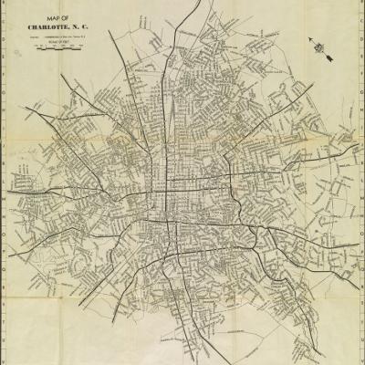
- Maps of the City of Charlotte and portions of the city ranging from 1917 to the present, including a map illustrating the ward system in the city -- the original 4 wards and later 11 wards.
- A bound three-volume set of Sanborn Fire Insurance maps for the City of Charlotte, 1929-1952, showing the footprints of houses and buildings along with street addresses. UNC Charlotte students and faculty have electronic access to the Sanborn maps for a number of North Carolina cities.
- We maintain numerous aerial photographs of campus, including an aerial photograph from 1959 that shows a barn in a field. Additional aerials show the gradual development of the UNC Charlotte campus.